
This stage connects Caldas do Gerês with the village of Ermida, passing through the interior of the Gerês mountain range using the old tracks that shepherds used to take their livestock up to the mountain pastures. Covering a distance of just over nine kilometers, the route provides highly varied landscapes and experiences, revealing some evidence of the realities told by Tude Martins de Sousa and also of those narrated by Miguel Torga, two illustrious authors who fell in love with the mountains of Gerês.
Take care to look out for the waymarks and signposts for the GR50 as there are several intersections and branches along this stage, as well as other marked routes. The signposts relating to the GR50 are clearly identified and, along this stage, are numbered from 13.1 to 13.40 (a numbered plate attached to signposts, the supporting post of information panels or direction mark). Always follow the GR50 waymarks and signs that indicate the direction of ‘Ermida’
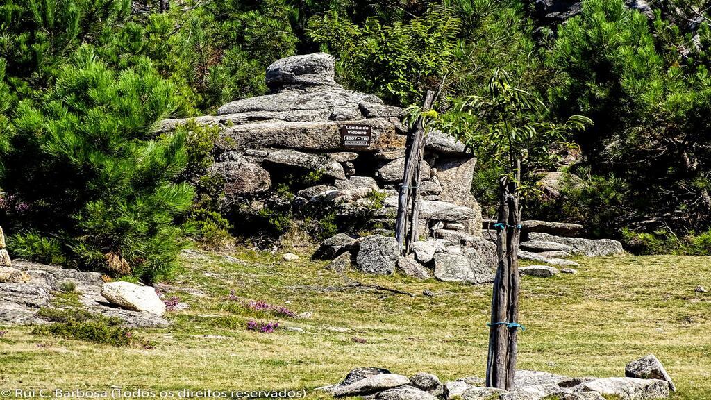
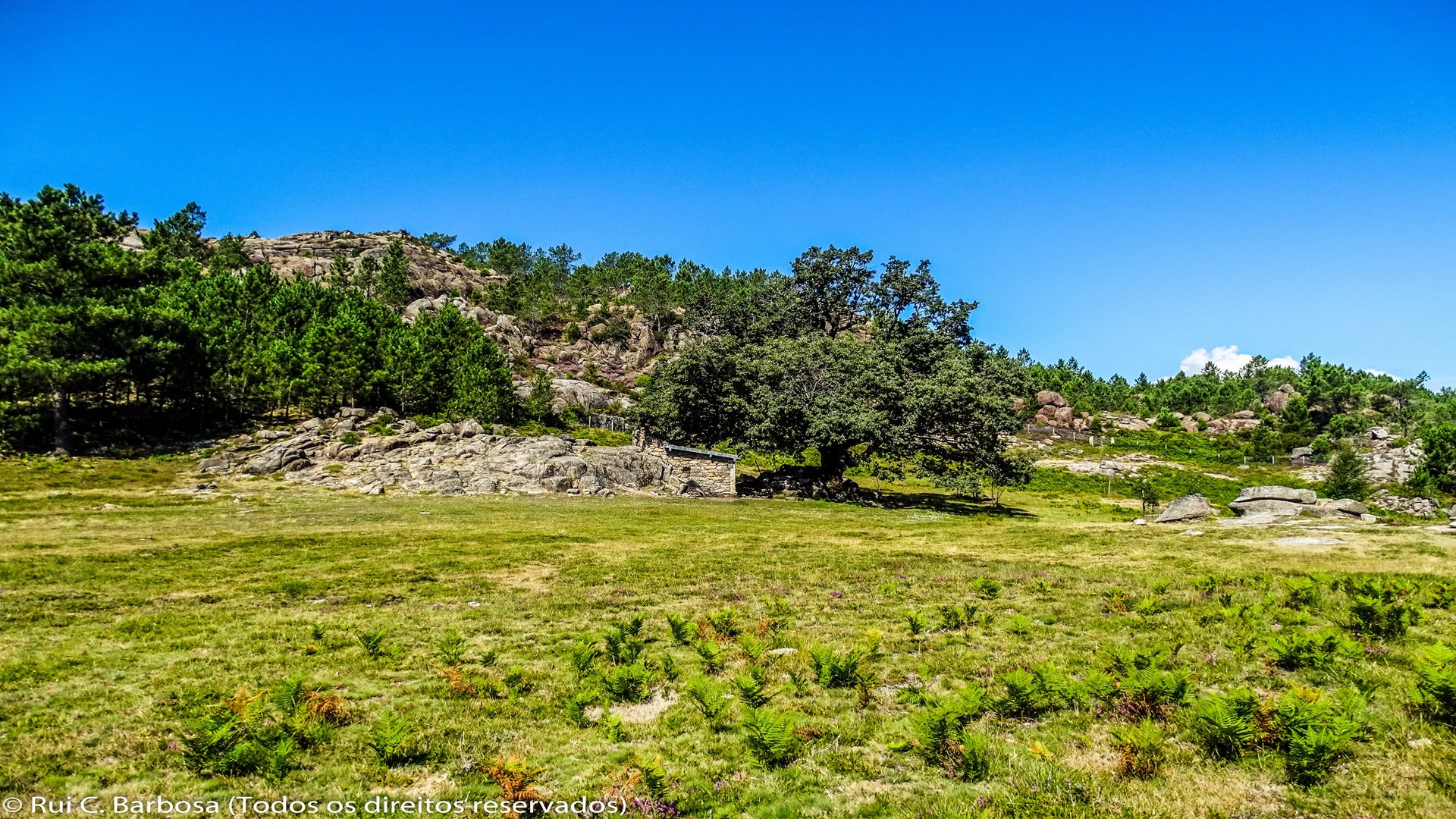
The stage begins in the very centre of Caldas do Gerês, on the main avenue next to Praceta Prof. Dr. Emídio José Ribeiro. Leaving the avenue, we head east, taking Augusto Sérgio Almeida Maia road until, about 100 meters ahead, take the first left turn, climbing about 300 meters on Lugar Carona road until reaching a signpost that indicates turning off the tarmac road and continue, on the left, along a track opened up through the vegetation. After walking about 1km we meet the tarmac surfaced Pedra Bela forest road. We continue to the right down the paved road and after a few metres reach Azeral Fountain, where the waymarks guide us onto the path that passes behind the font. This path leads us to the road that will take us via the Currais Trail (a short waymarked PR route) to the Curral da Lomba do Vidoeiro, where several large cairns can be seen set on the landscape.
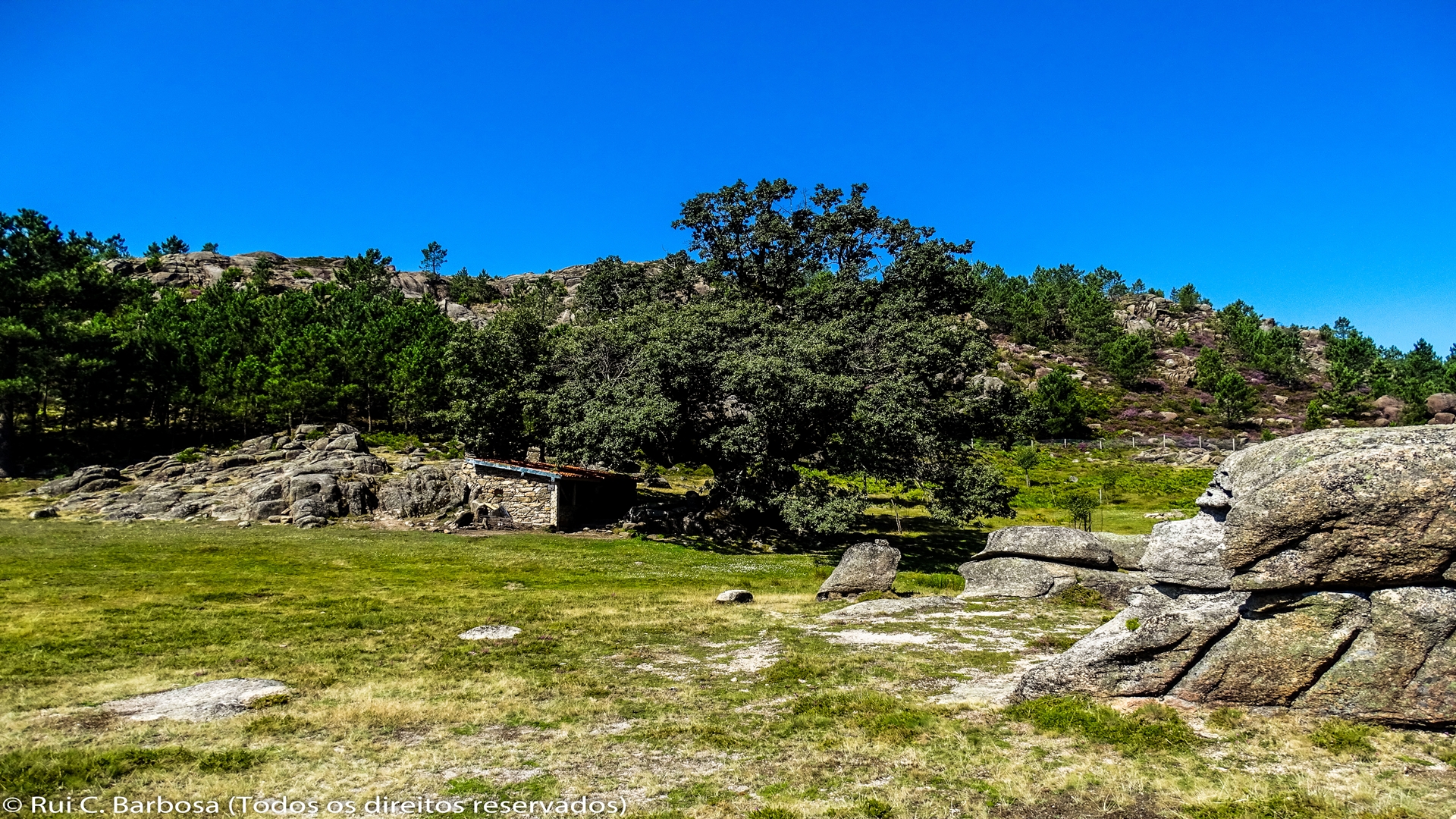
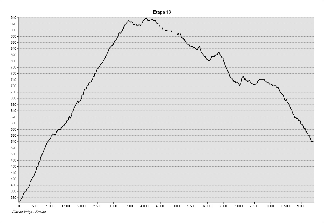
We continue along the old shepherds’ path which gives access to the upland meadows. About 700 meters after lomba do Vidoeiro, we pass the Curral da Carvalha das Mares, larger than the previous curral (enclosure) and with a more sophisticated shelter and where the route reaches its highest point, at an altitude of approximately 940 meters.
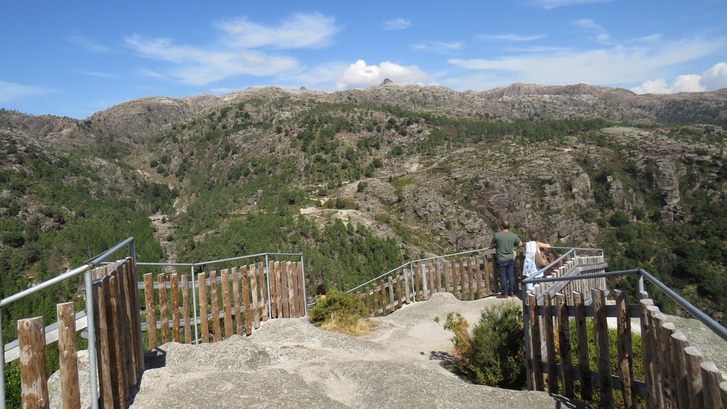
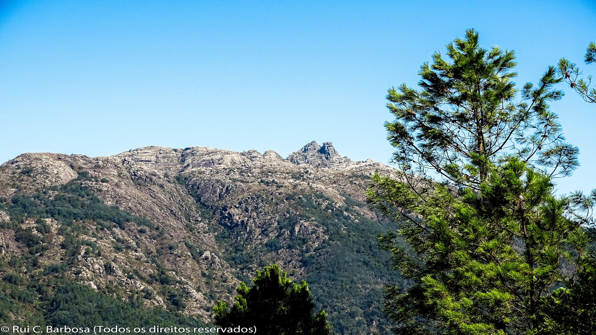
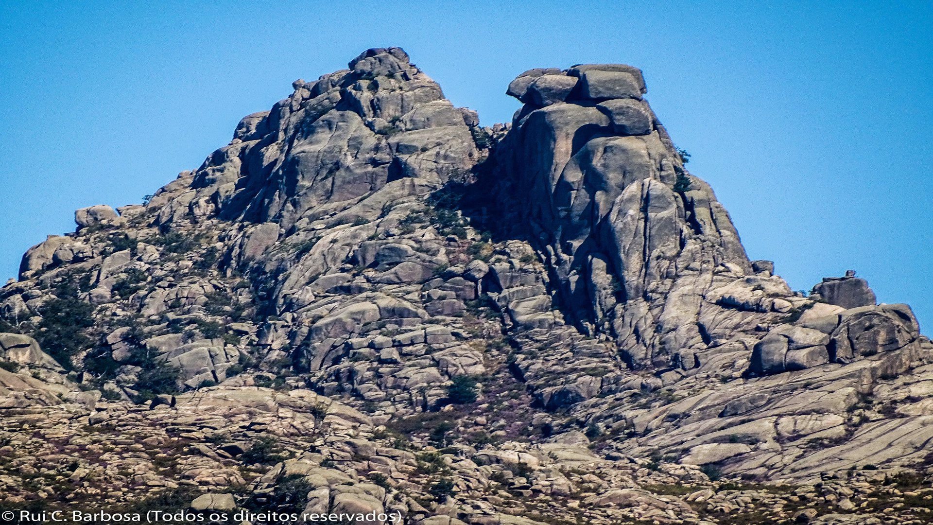
We continue south in the direction of Varejeiro. After crossing the water course, almost always dry in the summer months, we start to walk along a wider and more regular path, until we reach an intersection of paths in an open and flat area and where the GR50 route leaves the Currais Trail to take a short cut to Ermida. Following in the direction of Ermida, we reach the junction of the Arado Waterfall 1 km away. Here we join the path that gives access to the Miradouro das Rocas (which you can climb and enjoy from the top the fantastic landscape), going around the mass of granite that supports the viewpoint. A little further on we take a forest track that leads us to Ermida, this crossing the paved municipal road just before the village.
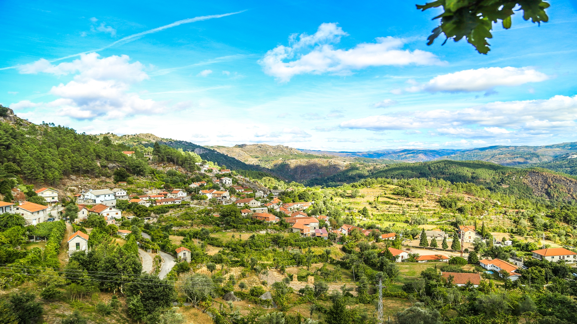
Ermida is a mountain community with strong connections to these uplands and their resources. In addition to the rural heritage and tourist infrastructures that the authorities and local community are creating, you can enjoy the existing services, namely restaurant, grocery store, café, accommodation and tourist activities.


