
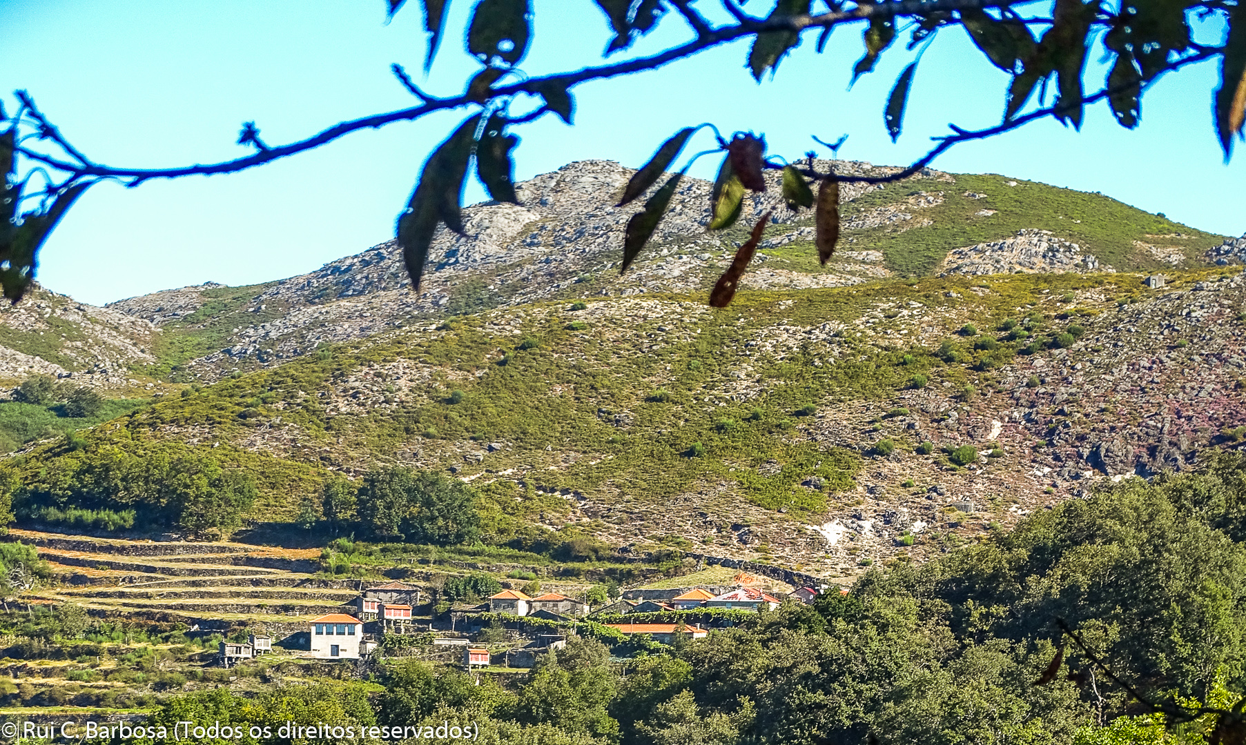
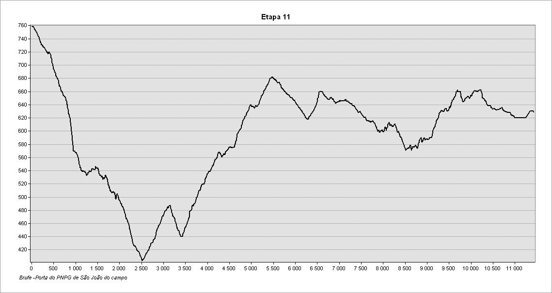
On this stage we will walk from the village of Brufe to Campo do Gerês, passing through Carvalheira, on to Bom Jesus das Mós, and encountering as the main scenic feature the valley of the river Homem and the waters of the Vilarinho das Furnas reservoir. The route is about 11 kilometers in length during which we pass from the Serra Amarela to the Serra do Gerês, separated by the river Homem.
Take care to look out for the waymarks and signposts for the GR50 as there are several intersections and branches along this stage, as well as other marked routes. The signposts relating to the GR50 are clearly identified and, along this stage, are numbered from 11.1 to 11.55 (a numbered plate attached to signposts, the supporting post of information panels or direction mark). Always follow the GR50 waymarks and signs that indicate the direction of ‘Campo do Gerês’
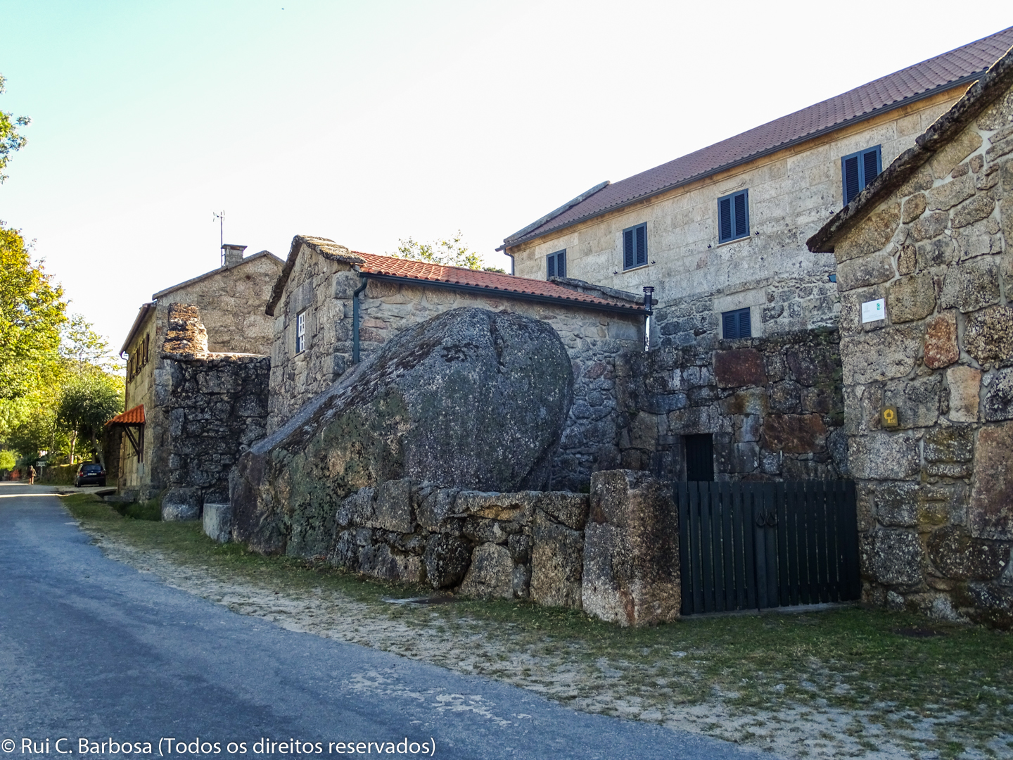
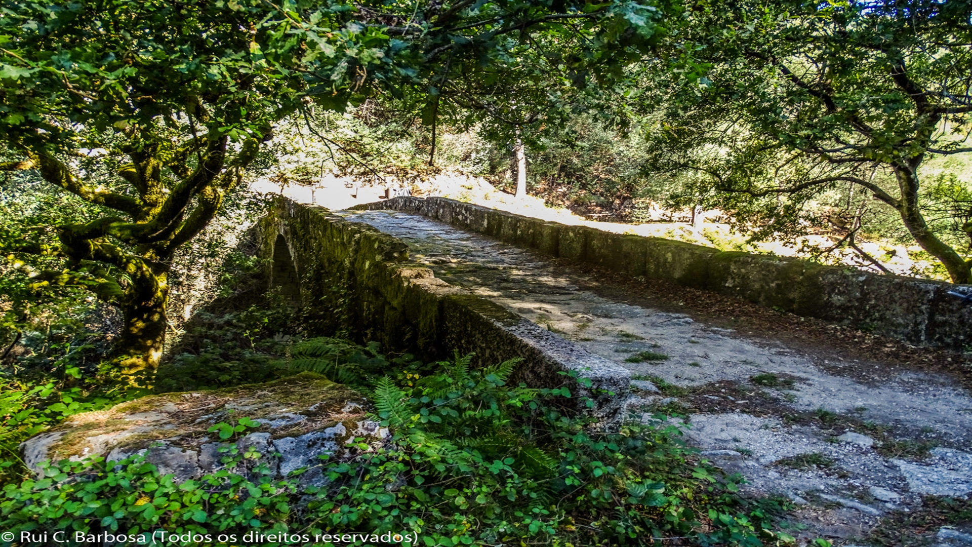
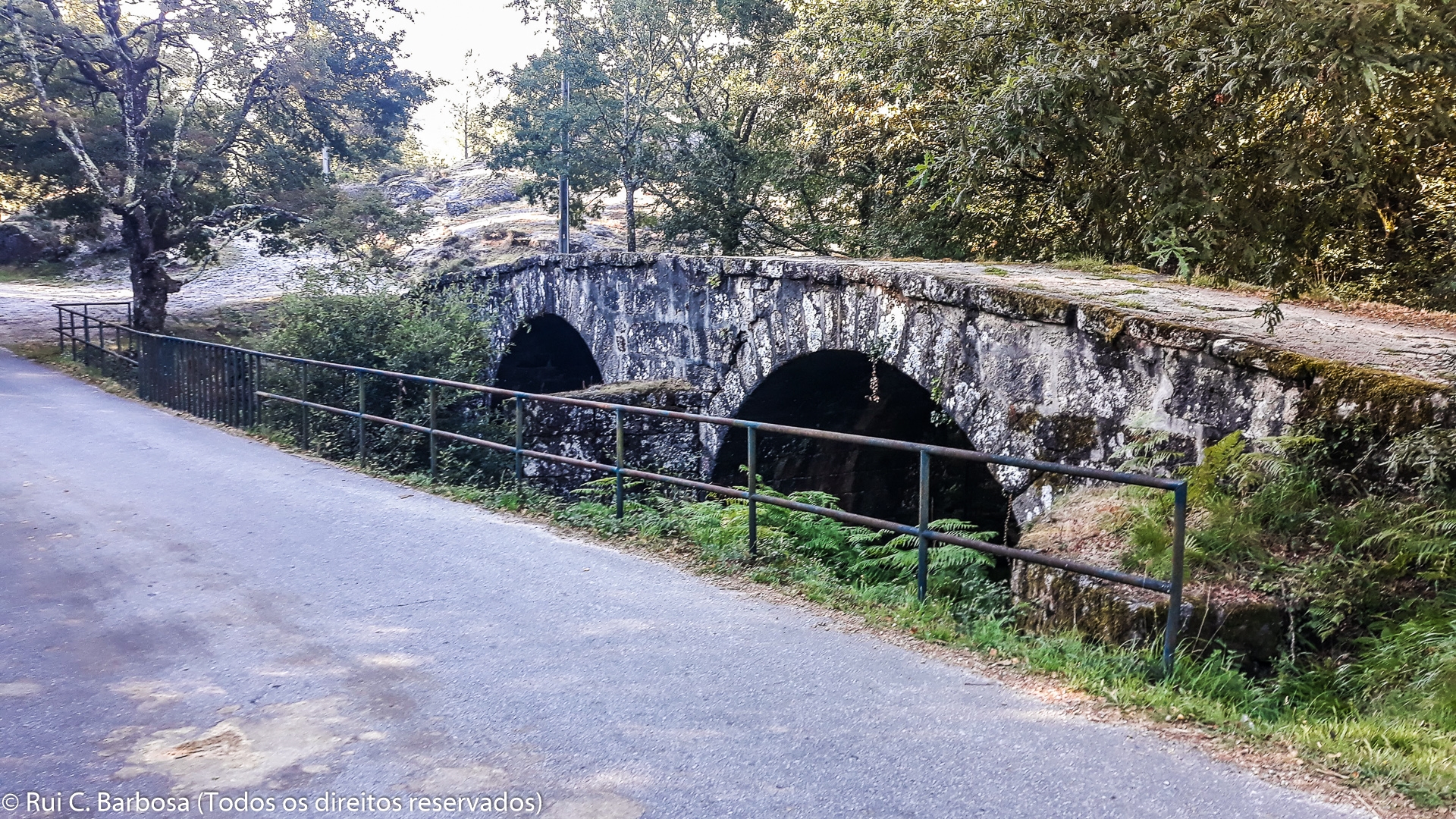
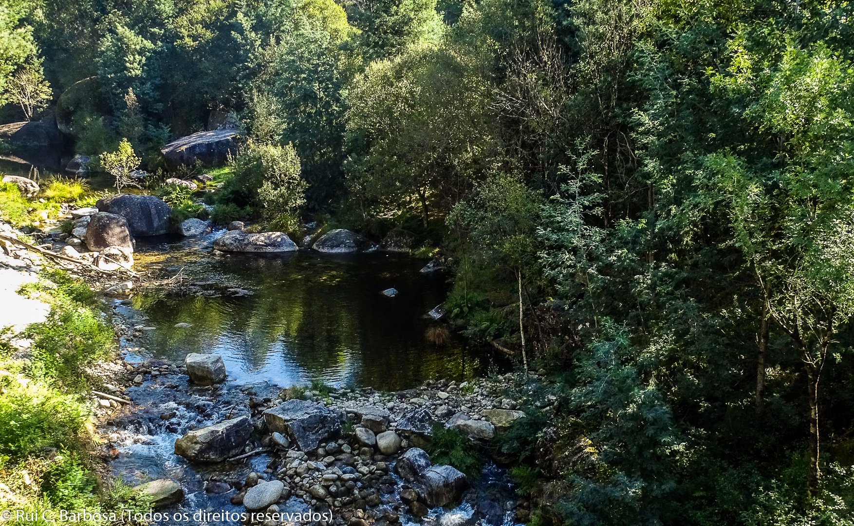
The route starts on the municipal road that crosses the village of Brufe, next to the GR50 information panel. It follows the road for about a kilometer, turning right towards the Brufe viewpoint. From here, the route follows a track until it crosses the river Homem, on the medieval bridge.
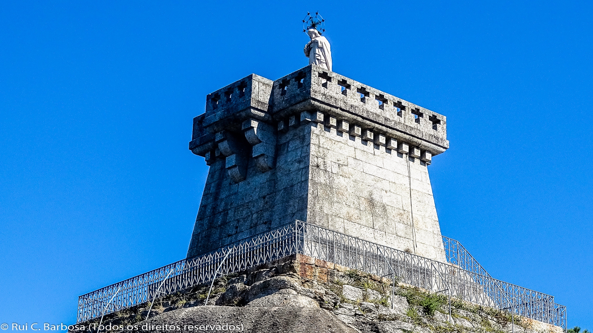
Alongside the medieval bridge is a small picnic area, ideal for having a break and regaining strength before we climb up to Quintão. After crossing the bridge, we climb up the track that is a few meters ahead and turn to the right, passing through a broadleaf woodland, until we join the cobbled road that leads us up to the village. As soon as we reach first group of houses we take a track to the left, passing between houses after which we join a path that goes through a patch of woodland until reaching a paved road which leads us up to the shrine of Senhor de Bom Jesus das Mós, a spot much revered locally. From the top of the Bom Jesus das Mós monument it is possible to gain a broad view of the surrounding countryside; it is possible to see the Calcedónia crags and the crags of Tonel in the Gerês mountains (to the SE), Alto da Louriça in the Serra Amarela (to the NE) and the valley of the river Homem (to the west).
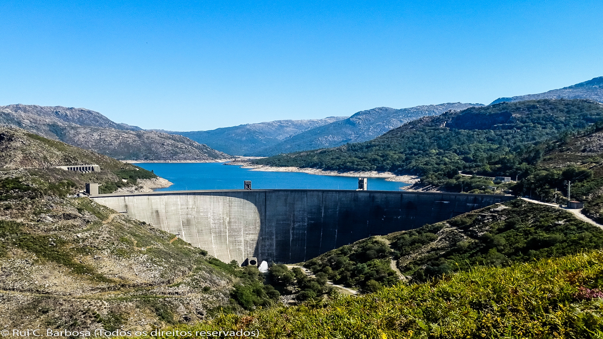
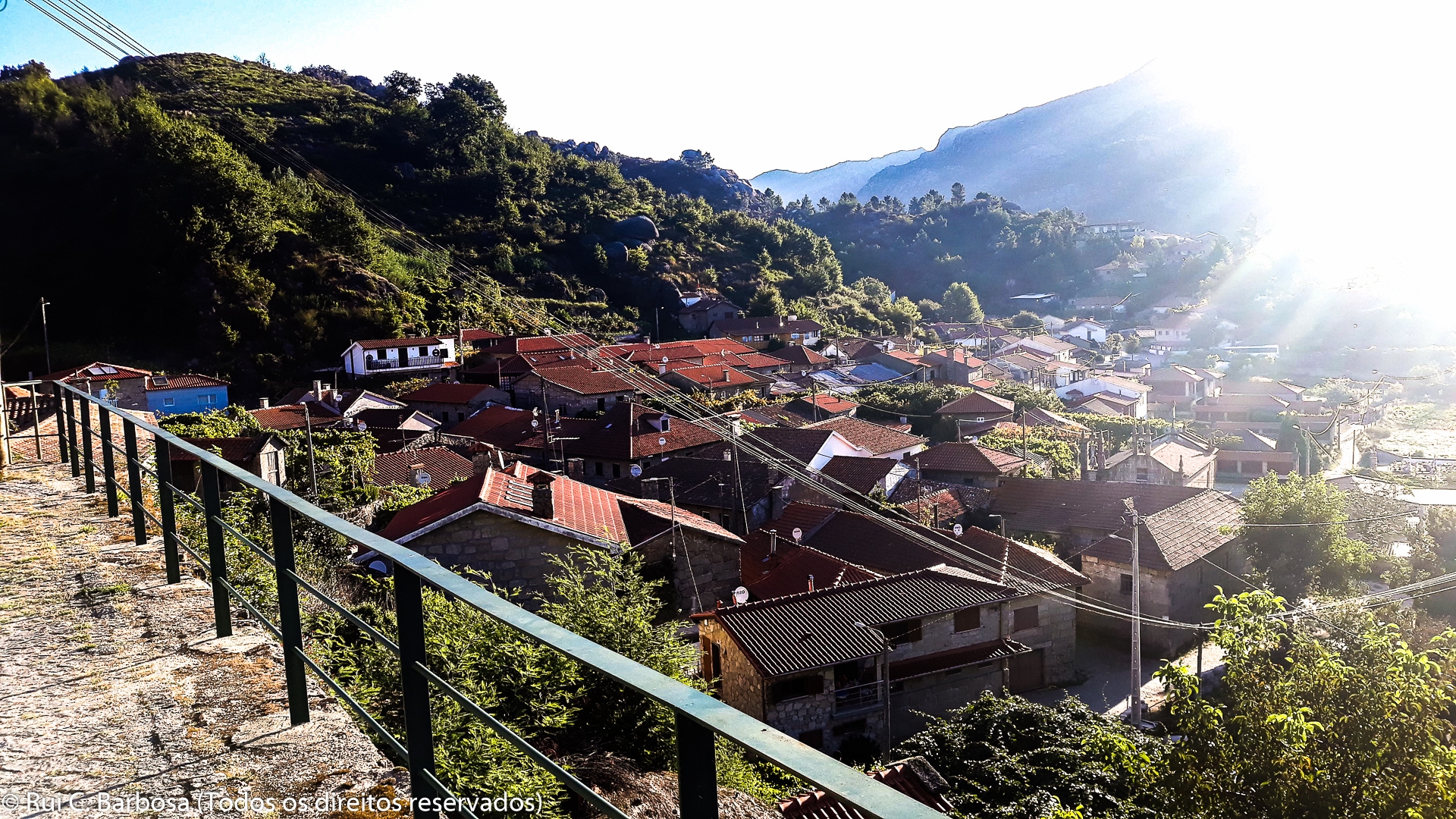
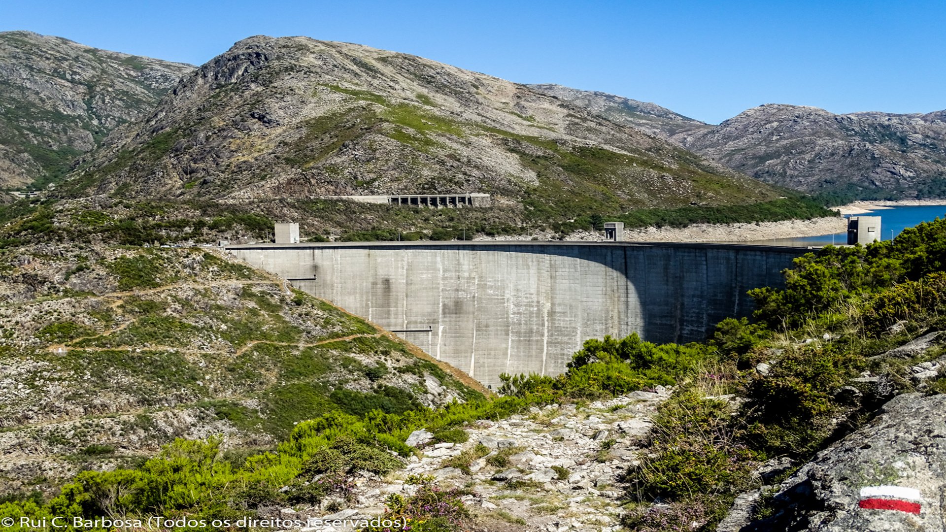
We continue our way down the paved road until we find, after about 900 meters, a sign indicating the way to Campo do Gerês. Here we take a dirt road which gives access to cowsheds after which we follow on a fantastic footpath which affords s fine views over the Homem river valley and the beautiful sheet of water that is the Vilarinho das Furnas reservoir, leading finally to the dam wall. From the dam, we continue ahead for about 500 meters on the paved road, passing by the Vilarinho da Furna Information and Interpretation Centre and then turning right to follow an old track that passes an area of oaks before leading us to one of the roads (Rua da Geira) giving access to the village of Campo do Gerês. Be sure to visit the village which has a strong community spirit and where you can also find some basic facilities and tourist services.
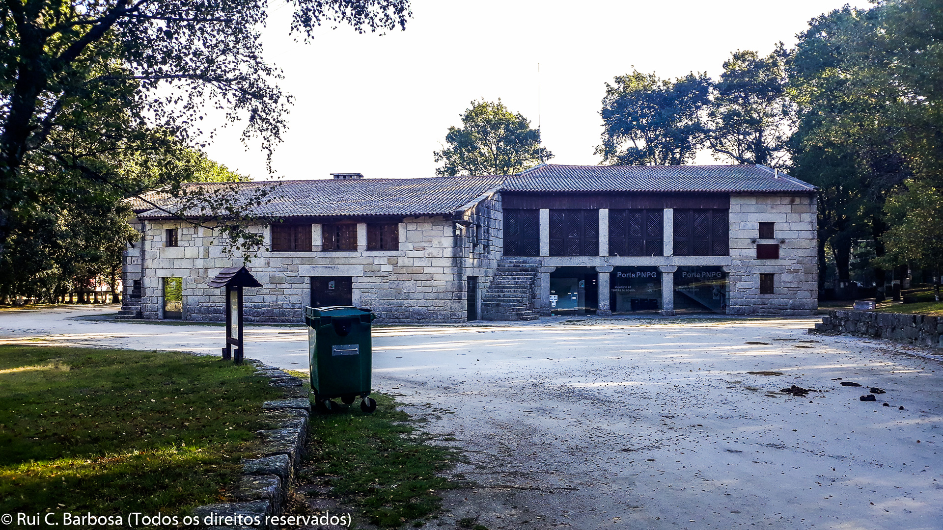
We leave the village on Rua dos Carreiros, overlooking Veiga de S. João do Campo, and then continue along the main track that takes us to the Campo do Gerês Park Gate, an area with tourist information and an ethnographic exhibition, which also incorporates the Geira Museum (Via Romana XVIII).


